Product Description
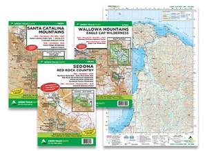
WHAT'S INCLUDED* ON A GREEN TRAILS MAP?
- Trails coded for hikers only, hikers and bikes, horses, X-C skiers, snowmobiles

- Includes icons for picnic areas, tent camping, RV spaces, bathrooms, backcountry toilets
- Icons for points of interest, waterfalls, springs, gates, parking areas
- Identifies dot-to-dot trail distances, contour intervals, adjacent map numbers, permits required
- Land designations such as national and state parks, national forest wilderness, DNR land, private land, Indian reservations
* Some information will vary by map
WHAT FORMAT DO MAPS COME IN?
- CLASSIC MAPS. 12 x 18 (shipped half-folded flat, unless otherwise requested), 15-minute coverage, paper
- S MAPS. 18 x 24 (shipped folded, 6 x 9; exceptions: Henry Coe State Park is 6 x 8, Central Park NYC is 3 x 8), waterproof, tear-resistant, ultralight
- SX MAPS. 22.5 x 30 (shipped folded, 6 x 9) 60% more covered area than Classic maps, waterproof, tear-resistant, ultralight


